
|


|
GPS Coordinates: 44.8148244, -117.7308248
|
EXPERIENCE > LANDMARK PLACES
Following the Corps of Discovery expedition led by William Clark and Meriwether Lewis in 1804-1806, American interest in the Pacific Northwest grew dramatically. The explorers’ widely published journals described a land of abundant forests, rich wildlife, numerous rivers and almost limitless potential for homesteaders. For many nineteenth century Americans, the promise of having some land of their own to settle was irresistible — but how to get to Oregon? At the time, the area was largely unexplored with few established communities. Travel by sea was not only very expensive, it was treacherous and could take nearly a year to sail from the Atlantic coast to the Pacific Northwest. The only alternative was overland passage, and the best known route became known as the Oregon Trail. |
Starting in Independence, Missouri, the trail traversed 2,000 miles (3,500 km) of rugged, inhospitable wilderness which included parched deserts, tall mountains and broad rivers. The trail’s official end was in Oregon City in the upper Willamette Valley.
Jeremy Martin works as an interpretive park ranger at the National Historic Oregon Trail Interpretive Center (NHOTIC) outside of the small town of Baker City, Oregon. His job is helping visitors understand the numerous hardships emigrants faced during their trek west and how the trail played an important role in the Euro-American settlement of the Oregon.
Jeremy Martin works as an interpretive park ranger at the National Historic Oregon Trail Interpretive Center (NHOTIC) outside of the small town of Baker City, Oregon. His job is helping visitors understand the numerous hardships emigrants faced during their trek west and how the trail played an important role in the Euro-American settlement of the Oregon.

|
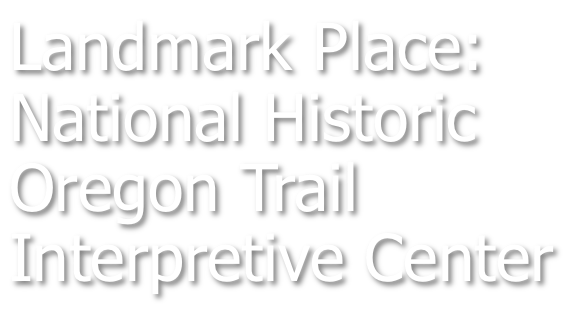
Landmark Place: The National Historic Oregon Trail Interpretive Center: Located in rural Oregon along the edge of the historic pioneer "highway," the National Historic Oregon Trail Interpretive Center is a must-see for anyone interested in how early emigrants overcame huge natural obstacles to settle the state.
|
Surviving the Oregon Trail: Interpretive rangers from the National Historic Oregon Trail Interpretive Center provide this compelling look at how early emigrants survived nature and an unforgiving landscape in their quest to reach the Willamette Valley.
Science in Seconds: The Global Positioning System: Finding these Landmark Places will be easier if you understand the Global Positioning System or GPS. This sophisticated system can allow a user to find any spot on earth within a few feet. Here's how it works...
“There were few comforts on the Oregon Trail,” he told the Oceanscape Network. “People were going to try and carry everything they could fit into those wagons… but it wouldn’t be long before they realized their oxen would get tired. Anywhere they started going uphill and those oxen started struggling, extra clothes, jewelry, headboards, stoves — it all got tossed. The most important thing you had to carry with you was food.”
The lack of food and clean drinking water quickly earned the route the nickname “The Trail of Bones.” Eventually the graves of fallen emigrants and the bleached bones of livestock would become macabre markers for the next group of travelers to pass through.
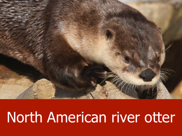
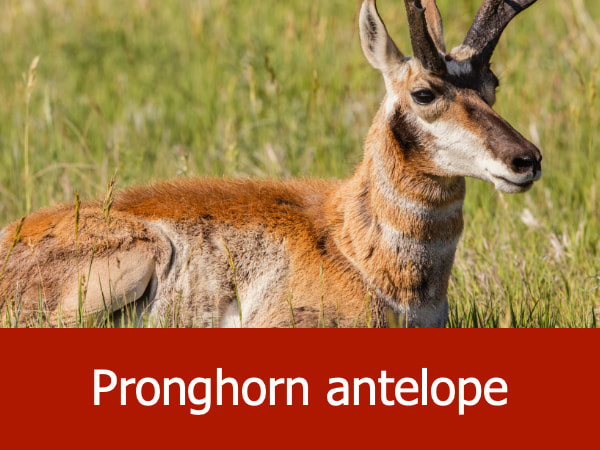
To preserve their limited food supplies, many emigrants hunted the animals they encountered. Bison, pronghorn antelope, American beaver, North American river otters, black bears, gray wolves, American badger, golden eagles and wolverines were all species found along the trail. Many of these animals would have been unknown in the emigrants’ home states.
If the emigrants made it all the way to the end of the trail, they’d find themselves in Oregon City, just south of modern day Portland. From here, they might spread south through the Willamette Valley to homestead or join other newly established communities.
NHOTIC is located on a hilltop overlooking a small part of the Oregon Trail. The facility includes several permanent galleries with exhibits on early exploration, pioneer life, Native Americans and natural history. Rotating displays are housed in the Flagstaff Gallery and often cater to younger visitors, teaching them about local plants and animals or skills used by the emigrants — such as how to best pack your wagon for the long journey west.
Outside there are nearly 4 miles (6.4 km) of hiking trails, including one leading to the original ruts left by the thousands of wagon wheels which passed over the trail. There is also a reproduction of a stamp mill and mine shaft, reminders of the area’s gold mining history.
The lack of food and clean drinking water quickly earned the route the nickname “The Trail of Bones.” Eventually the graves of fallen emigrants and the bleached bones of livestock would become macabre markers for the next group of travelers to pass through.
To preserve their limited food supplies, many emigrants hunted the animals they encountered. Bison, pronghorn antelope, American beaver, North American river otters, black bears, gray wolves, American badger, golden eagles and wolverines were all species found along the trail. Many of these animals would have been unknown in the emigrants’ home states.
If the emigrants made it all the way to the end of the trail, they’d find themselves in Oregon City, just south of modern day Portland. From here, they might spread south through the Willamette Valley to homestead or join other newly established communities.
NHOTIC is located on a hilltop overlooking a small part of the Oregon Trail. The facility includes several permanent galleries with exhibits on early exploration, pioneer life, Native Americans and natural history. Rotating displays are housed in the Flagstaff Gallery and often cater to younger visitors, teaching them about local plants and animals or skills used by the emigrants — such as how to best pack your wagon for the long journey west.
Outside there are nearly 4 miles (6.4 km) of hiking trails, including one leading to the original ruts left by the thousands of wagon wheels which passed over the trail. There is also a reproduction of a stamp mill and mine shaft, reminders of the area’s gold mining history.
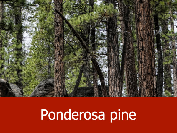
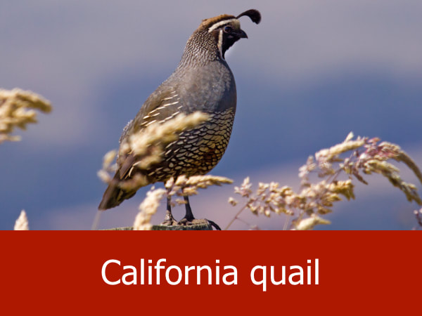
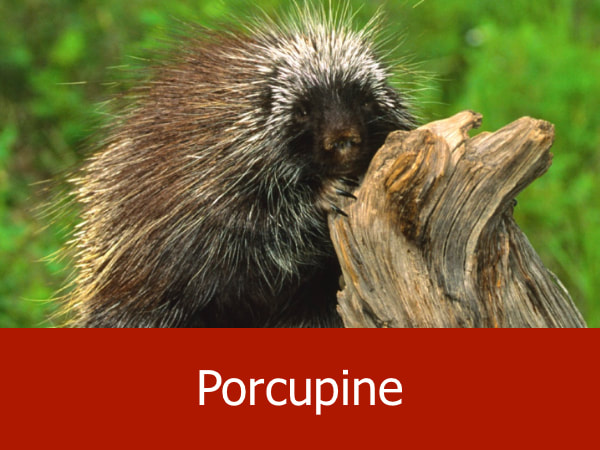
Representative Species of the NHOTIC Area:


|


|


|


|
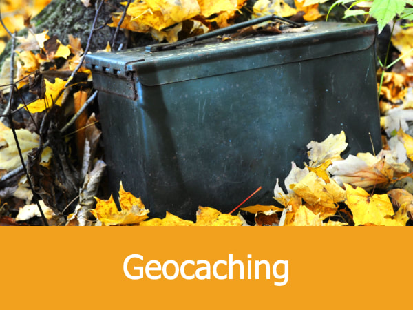
Suggested Activities for the NHOTIC Area:


|


|


|


|
