

|


|
GPS Coordinates: 43.6956895, -124.119703
|
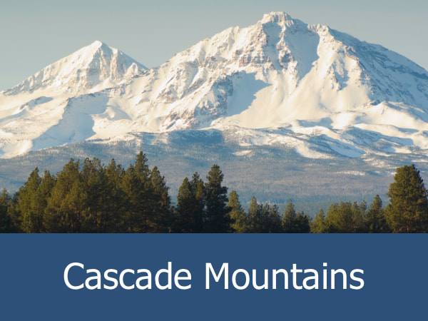
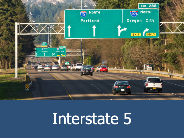
REGIONS > WESTERN OREGON > WILLAMETTE VALLEY > PORTLAND AND VICINITY
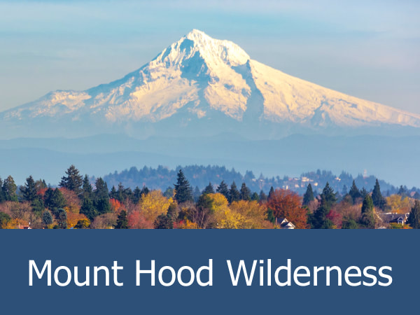
This 54-acre park is administered by the Oregon State Parks and is located near the town of Troutdale, approximately 16 miles east of Portland. The park is named for the Lewis and Clark Expedition (also known as the Corps of Discovery), which explored the area in November 1805. The park runs parallel to the Sandy River, a 56 mile (90 km) watercourse fed primarily by the Reid Glacier located on the southwest flank of Mount Hood. Lewis and Clark mistakenly concluded that this river was one of the primary tributaries to the Columbia River due to the extremely high level of water coursing through it in 1805. In fact, this immense flow was the result of the Mount Hood volcanic eruption the previous year which melted ice packs and caused widespread flooding. Today, the river is gentler, making it popular with anglers, swimmers and boaters. |
The park has extensive picnicking and bathroom facilities, along with a botanical walk, which allows visitors to discover many of the plants first catalogued by Lewis and Clark. A nearby trailhead leads to Broughton’s Bluff, an impressive series of cliffs popular with rock-climbers. Additional nature walks also provide opportunities for wildlife spotting.

Visiting the Lewis and Clark State Recreational Site: This 54-acre park is administered by the Oregon State Parks and is located near the town of Troutdale, approximately 16 miles east of Portland. The park is named for the Lewis and Clark Expedition (also known as the Corps of Discovery), which explored the area in November 1805.
The historic and picturesque Sandy River Bridge is located upstream from the main parking area and marks the approximate area where British explorers from the H.M.S. Chatham first encountered the area on October 30, 1792. The Chatham, along with its sister ship H.M.S. Discovery, was part of Captain George Vancouver’s expedition to the Pacific Northwest and was the first European effort to chart and name many of the areas along the Columbia River, including Mount Hood. The British called the waterway Barings River, but it was renamed Quicksand River by the Lewis and Clark expedition in reference to the loose and dangerous sediment which had collected at its mouth from Mount Hood’s many eruptions. Eventually this name was shortened to the modern “Sandy River.”
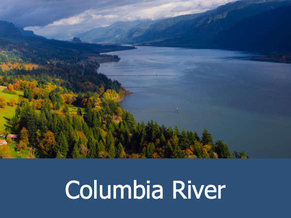
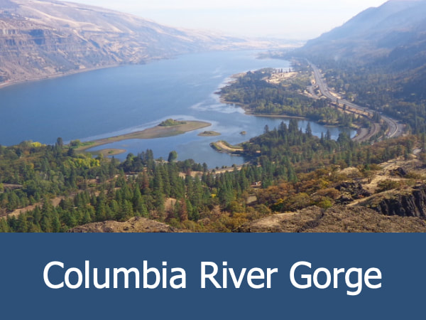
This recreation site marks the western gateway into the larger Columbia River Gorge National Scenic Area and the western end of the Historic Columbia River Highway. Learn more about this park by clicking here.
This recreation site marks the western gateway into the larger Columbia River Gorge National Scenic Area and the western end of the Historic Columbia River Highway. Learn more about this park by clicking here.
Exploring the Lewis and Clark Recreational Site Area:
|

|
|
|
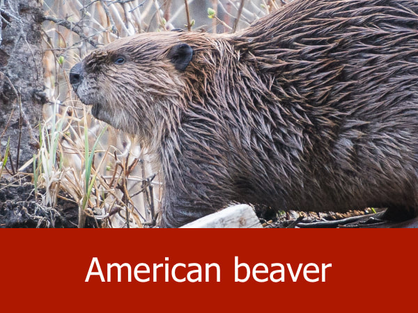
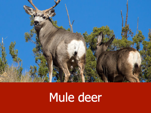
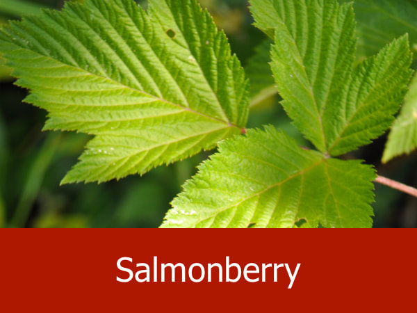
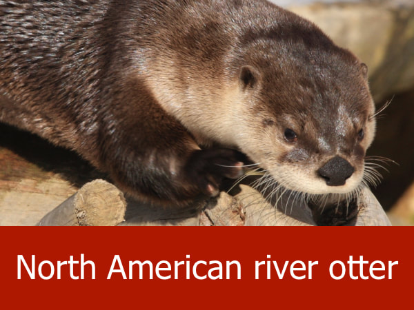
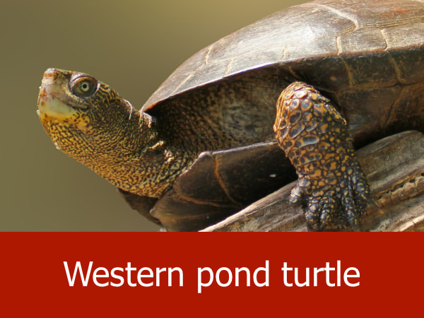
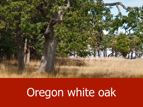
Representative Species for Lewis and Clark Recreational Site:
|


|


|


|
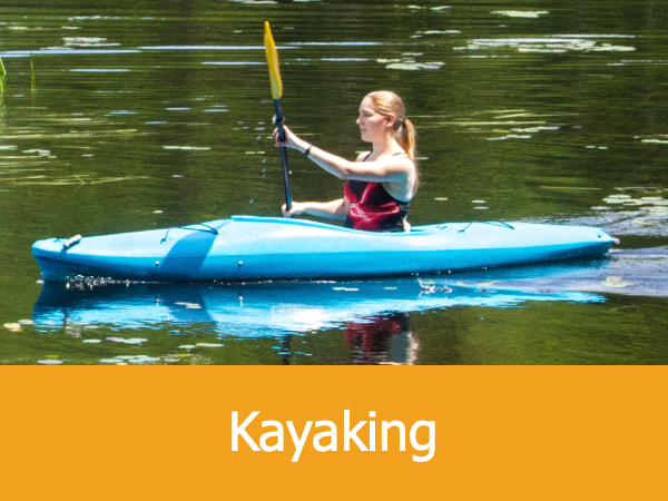
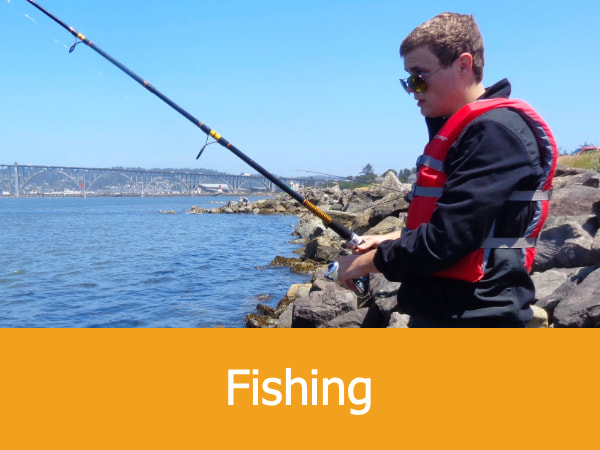
Suggested Activities for Lewis and Clark Recreational Site:

|


|

|


|
