

|


|
GPS Coordinates: 43.28041, -119.312043
|
EXPERIENCE > LANDMARK PLACES > MALHEUR NATIONAL WILDLIFE REFUGE
The Double-O was once the largest cattle ranching operation in Harney County. At its height, the ranch covered over 17,000 square acres of land, and represents an important component of Oregon’s history and economy. In the 1940s, the remnants of the ranch were sold to the federal government and it was absorbed into the larger Malheur National Wildlife Refuge, which encircles it. Today, the ranch is maintained as close to its original state as possible — a kind of living ghost town — which is used for special events including historical reenactments. Can you find the Double-O? Good luck! Related Features: A Teen's Guide to Oregon Ghost Towns | Encountering Wildlife |

|
The Ranch Time Forgot: Hidden within the confines of the Malheur National Wildlife Refuge, the Double-O ranch is a remnant of Oregon's pioneer days.
|
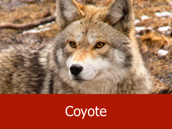
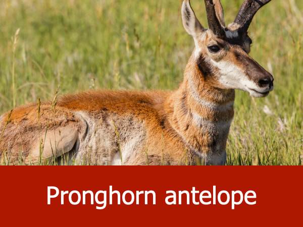
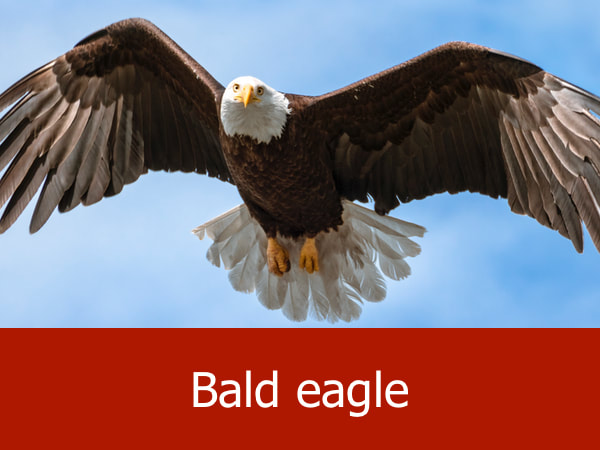
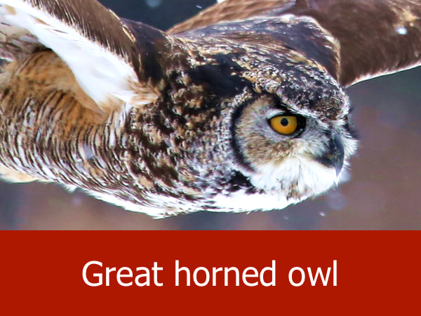
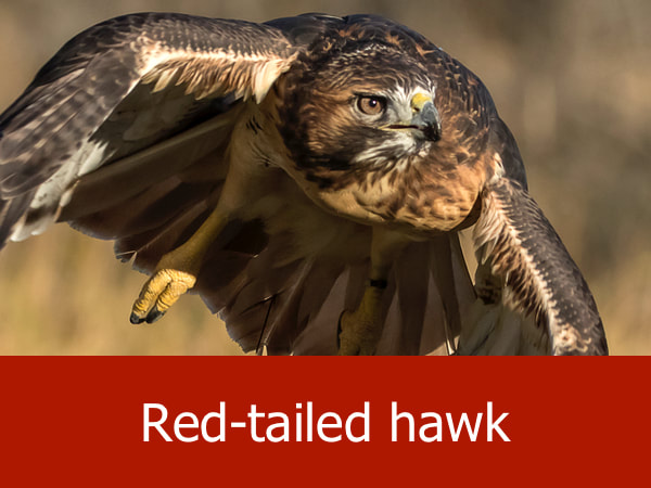
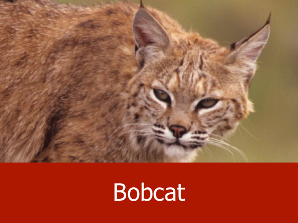
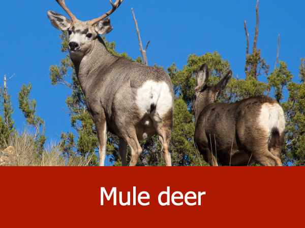
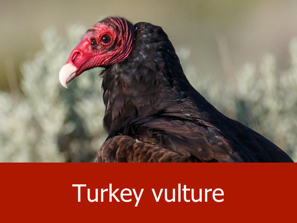
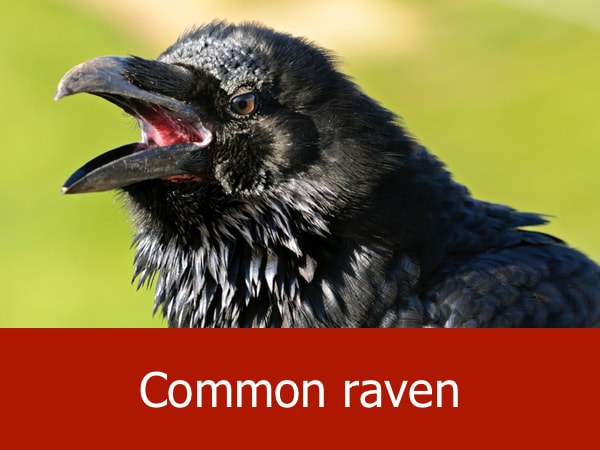
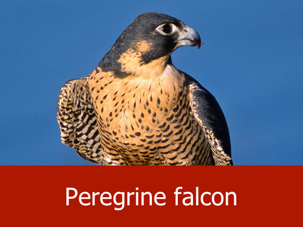
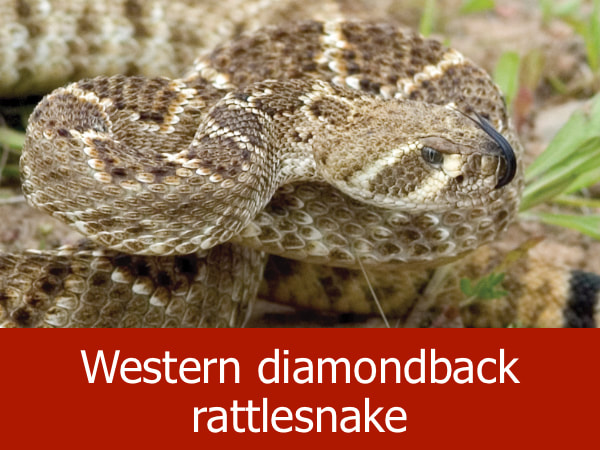
Representative Species of the Double O Ranch:

|
|
|
|
Suggested Activities for the Double O Ranch:

|

|

|
