

|


|
GPS Coordinates: 46.1298458, -123.8925088
|
EXPERIENCE > LANDMARK PLACES
As the name indicates, this national park commemorates the discoveries of the Corps of Discovery Expedition of 1803 to 1806 and encompasses a variety of forest and coastal ecosystems on the North Coast of Oregon. This successful expedition was the first overland attempt by Euro-Americans to reach the Pacific Ocean. Fort Clatsop is the outpost built by expedition upon reaching the ocean’s edge. They stayed in this encampment during the cold, wet winter of 1805-06. The expedition, led by former military officers, Meriwether Lewis and William Clark, paved the way for western expansion by the United States. The goal of the expedition was to map the terrain from the eastern United States to the Pacific Ocean and keep detailed records of all the plants, animals and people encountered along the way. Located approximately 5 miles (8 km) south of Astoria, the park was originally known as Fort Clatsop National Memorial. |
About Fort Clatsop:Located on the south bank of what is now known as the Lewis and Clark River, this stockade was officially occupied (though not quite completed) on Christmas Day, 1805. It served as the winter headquarters of the Corps of Discovery during a particularly miserable winter on the Oregon coast.
The design of the fort was simple. A tall outer wall enclosed two buildings with sloped roofs with a large open area between them. One building was intended for the officers and their Native American guide, Sacagawea, and her family. The other building was for the party's 27 enlisted men. The exact location and physical appearance of the fort is unknown. The replica at the park is an approximation based on archaeological evidence and descriptions written in William Clark's journals. The current fort is actually the third such replica to occupy this area, the previous two having been destroyed by the elements and fire. |
|

|
Science in Seconds: The Global Positioning System: Finding these Landmark Places will be easier if you understand the Global Positioning System or GPS. This sophisticated system can allow a user to find any spot on earth within a few feet. Here's how it works...
|
Exploring the Area:
Established in 2004, the Lewis and Clark National Historical Park is one of the newest national parks in the United States. Encompassing thousands of acres, the park incorporates several pre-existing Oregon state and federal sites. An impressive visitors center and gift shop are walking distance from the Fort Clatsop replica described above. Rangers and volunteers may also participate in costume lead demonstrations, storytelling programs and more.
In addition, the larger park area includes half a dozen hiking trails and other features which will allow you to explore the surrounding area. The Netul River Trail and Landing is a highlight. This meandering trail follows the left bank of the Lewis and Clark River, passing by a former "wet sort yard" which was a sorting area for lumber up until the 1980s. Interpretive signs and displays allow you to understand the role lumber played in Oregon's history and economy. In the river itself, remnants of this large-scale operation are still visible with hundreds of wooden pier pilings jutting out of the water.
Additional information on the park can be found at its official website.
Related Features: Clark and the Whale | Lewis and Clark State Recreational Site | Cape Disappointment State Park
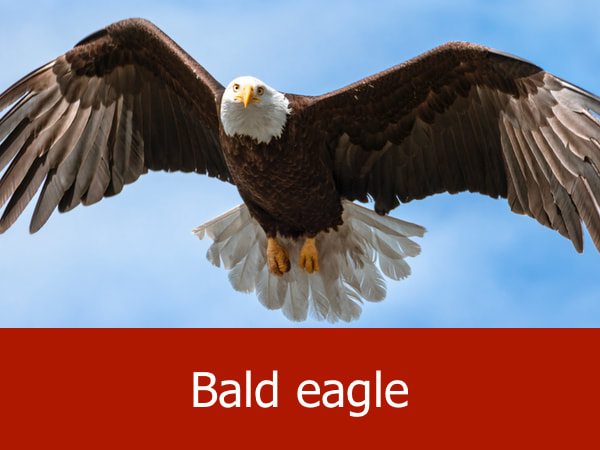
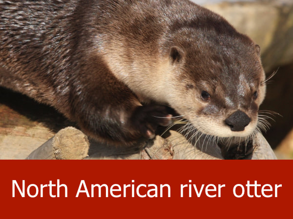
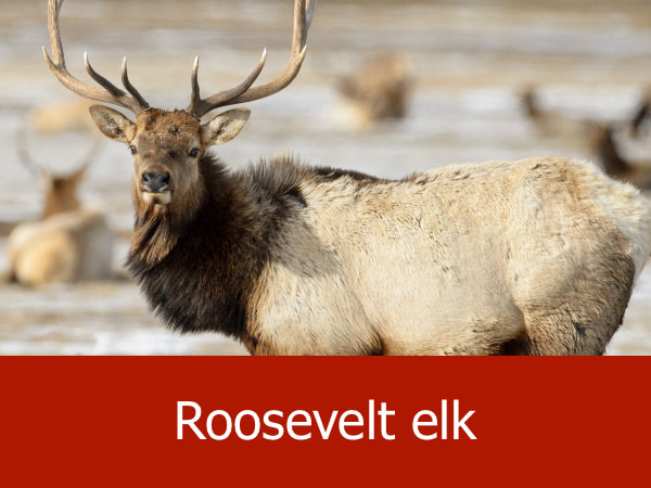
Representative Species of the Park:
|


|


|


|
Suggested Activities for the Park:


|


|


|

|
