

|


|
GPS Coordinates: 46.2834317, -124.0715521
|
EXPERIENCE > YOUTH ACTIVITIES > LIFE IN RUINS
Fort Canby was a military installation designed to protect the mouth of the Columbia River from foreign invasion. The fort was part of the Three Forts Defensive System which also includes Fort Stevens (Oregon) and Fort Columbia (Washington). Army personnel were stationed at the fort from the mid-19th century to the conclusion of World War II. Although the installation no longer functions as a military post, it offers an interesting look at a bygone era. Interpretive signage and displays are located throughout the largely subterranean facility. The Cape Disappointment Lighthouse and natural areas are a short hike away. |
Fort Canby Today:
The impressive headland overlooking the Columbia River on which Fort Canby is located has changed much over the decades. This picturesque site is now home to the Lewis and Clark Interpretive Center which commemorates the 1803-1806 Lewis and Clark Expedition. The expedition, which began in St. Louis, Missouri, and lead to the Pacific coast, was not only a journey of scientific discovery, but helped the United States establish its claim to the Pacific Northwest. The museum’s extensive exhibits trace the history of the expedition from conception to conclusion and offer many interactive displays and period artifacts. Displays interpret the natural history of the area, lifesaving services and the so-called “Graveyard of the Pacific,” the treacherous confluence where the Columbia River meets the Pacific Ocean which has claimed thousands of ships and lives.
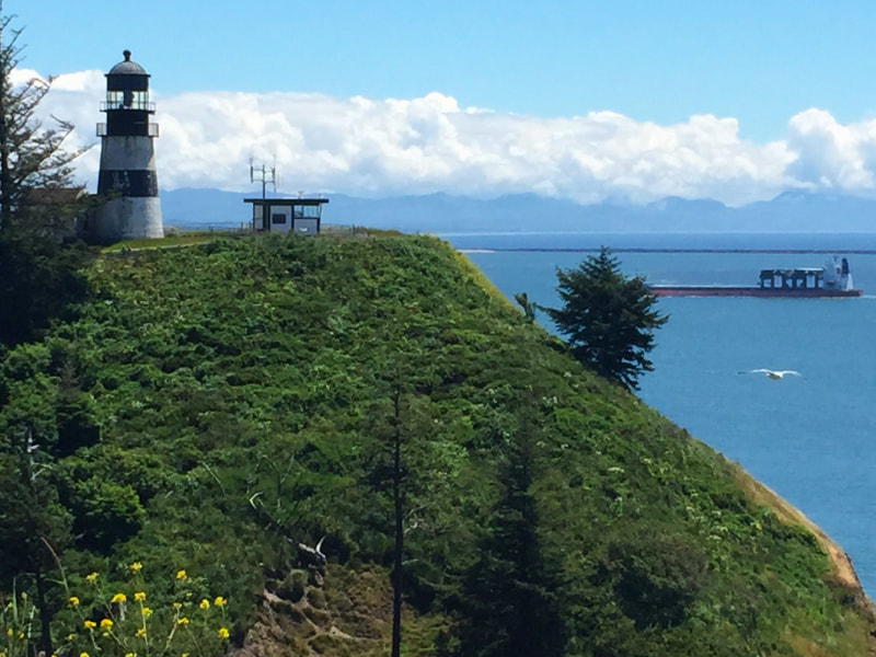
Cape Disappointment Lighthouse is still an operational part of the system to keep ships safe on the Columbia River Bar.
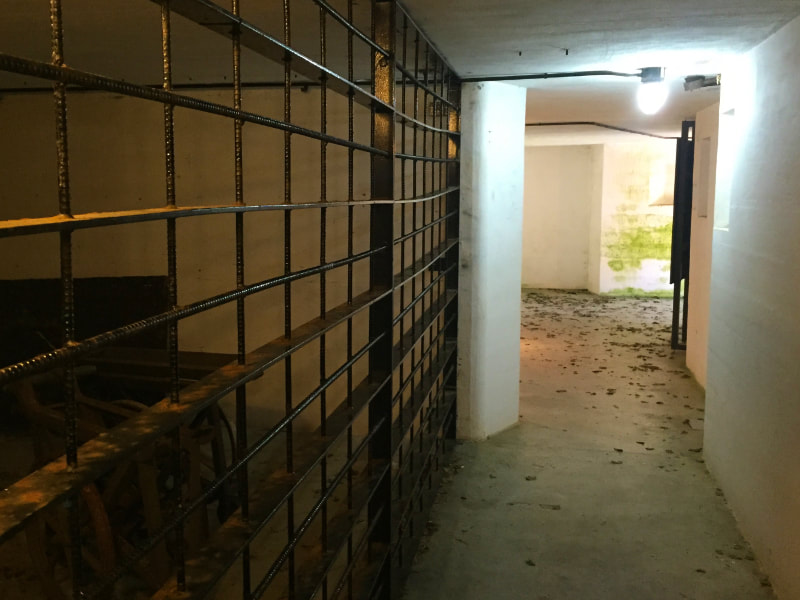
Many of the subterranean structures of Fort Canby are open to the public and contain interpretive displays.
|
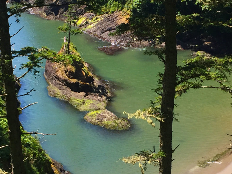
The picturesque Dead Man's Cove lies beneath the trail between Fort Canby and the lighthouse.
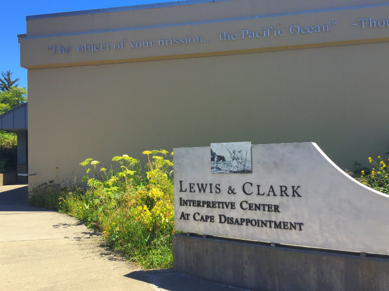
The Lewis and Clark Interpretive Center is located next to the Fort Canby ruins.
|
Visitors can extend their experience by touring the old bunkers and gun emplacements of Fort Canby located just outside the museum’s front doors. A longer hike snakes past the picturesque Dead Man’s Cove and terminates at the Cape Disappointment Lighthouse which probably offers the best views of the Columbia River bar in the area.
Additional information on the interpretive center can be obtained by calling (360) 642-3029.
Download the exploration tools at the bottom of this page to help explore these sites and determine how wild species are now using them.
Related Features: Secrets of Shipwrecks
Additional information on the interpretive center can be obtained by calling (360) 642-3029.
Download the exploration tools at the bottom of this page to help explore these sites and determine how wild species are now using them.
Related Features: Secrets of Shipwrecks
Representative Species at Fort Canby:


|


|


|


|
Suggested Activities for Fort Canby:


|


|


|


|
Downloadable Resources:

|

|
