

|
ECOSYSTEMS > OREGON COAST
A headland is a point of high land which juts into a body of water such as a lake or ocean. These lofty outcrops are alternately referred to as capes, promontories or simply heads. If they are inland, they may be referred to as uplands. The ocean-facing side of the headland often drops sharply to the ocean with little or no shoreline below. Although certainly not unique to Oregon, they are a common feature due to the distinct geology of the state's coastline.
A headland is a point of high land which juts into a body of water such as a lake or ocean. These lofty outcrops are alternately referred to as capes, promontories or simply heads. If they are inland, they may be referred to as uplands. The ocean-facing side of the headland often drops sharply to the ocean with little or no shoreline below. Although certainly not unique to Oregon, they are a common feature due to the distinct geology of the state's coastline.
Lava Meets Water:
|
|
Headlands can be formed in a variety of ways. Sometimes sedimentary deposits on the ocean floor can be folded up against the advancing continental plate in a process called subduction. Just like loose dirt piles up in front of your hands if you push them through soft soil, so headlands can rise as the continental plate grinds forward slowly over time.
Other times, headlands can be created through a process called tectonic uplift, in which large-scale geologic activity (such as earthquake or volcanism) pushes a wedge of land higher than the areas around it. Headlands may also be created through the process of erosion, when wind or water breaks down stone. Much of the Oregon Coast was laid down millions of years ago by gigantic lava flows which poured across the state from volcanoes in Idaho. The lava cooled into a hard basalt and formed a rugged barrier against which the Pacific Ocean is constantly pounding. Over time, the waves break down the rock, sometimes causing the sheer cliffs you see on many Oregon headlands. This same process created the hundreds of islands (also known as sea stacks) off the coast. |
Life on the Edge:
Different ecosystems can be found on headlands along the coast. From old growth forests to grassy coastal meadows, there’s no particular way for life to take root at the edge of the land. Exploring headlands can be particularly fun partly because of the different plants, animals and amazing views. But be careful, the heights and direct exposure to the ocean also means unpredictable weather, challenging climbs and plenty of mud. Before you venture out to a headland, investigate what kind of gear and clothing you should take so you can endure exposure to the weather with the ocean on three sides of you. You can learn more by reading our features on Outdoor Safety.
RELATED FEATURES: Ecosystems: Cliffs
RELATED FEATURES: Ecosystems: Cliffs
Where Can I See Headlands on the Oregon Coast?
|
Cascade Head
GPS coordinates: 45.056771, -124.022346 |
Yaquina Head
GPS coordinates: 44.6751306, -124.0852825 |
Cape Perpetua
GPS coordinates: 44.2870792, -124.1238961 |
|
Cape Blanco
GPS coordinates: 42.8376237, -124.5727759 |
Cape Foulweather
GPS coordinates: 44.7723509, -124.0847258 |
Cape Meares
GPS coordinates: 45.5214507, -124.0276249 |
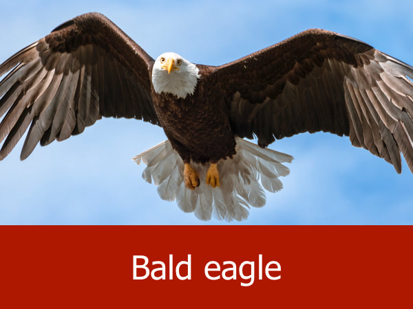
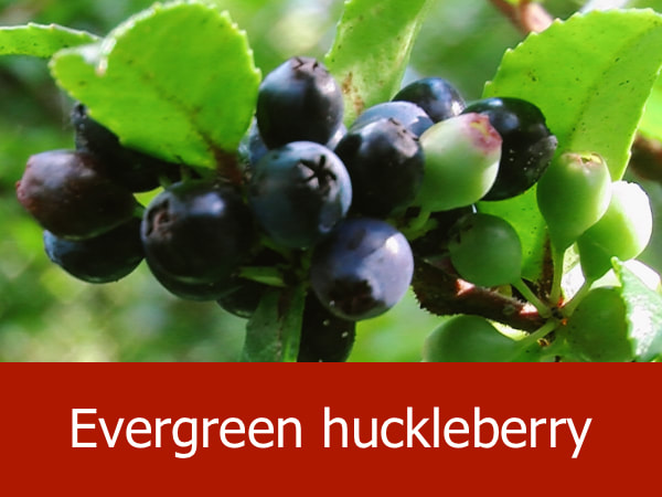
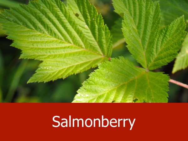
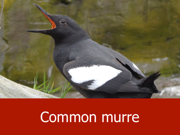
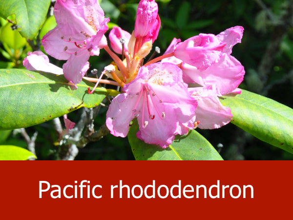
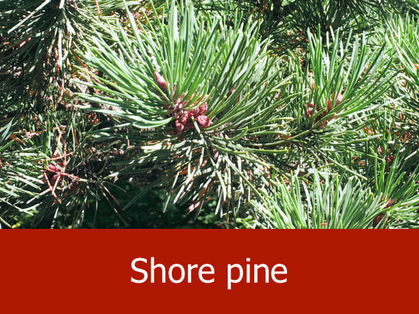
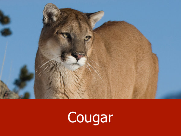
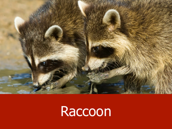
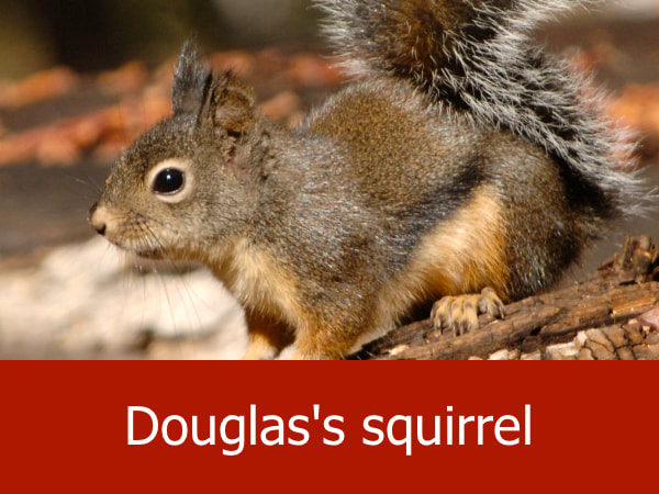
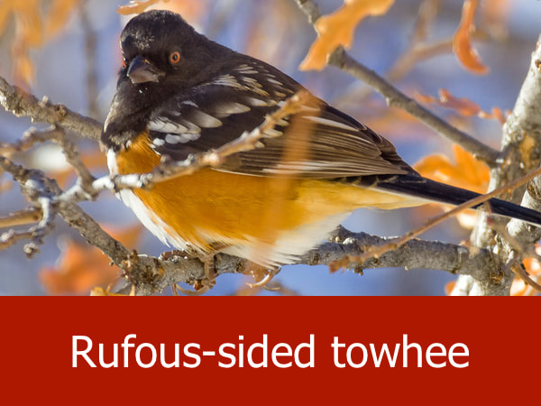
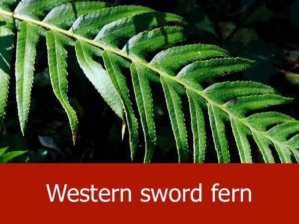
Representative Species for Headlands on the Oregon Coast:
|
|

|
|
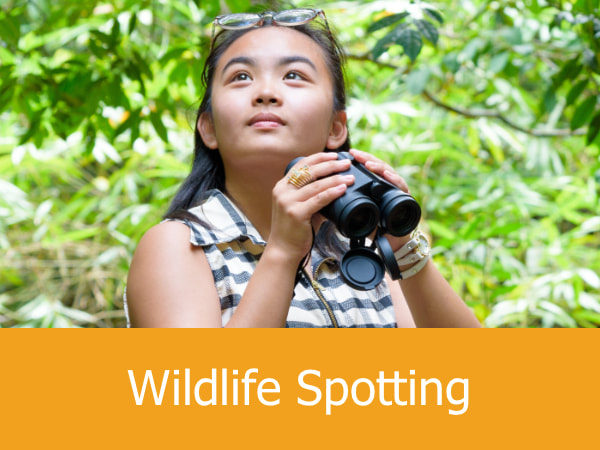
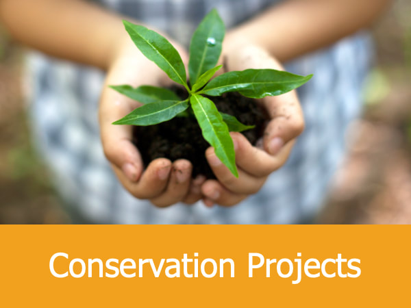
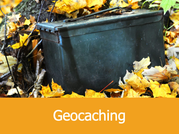
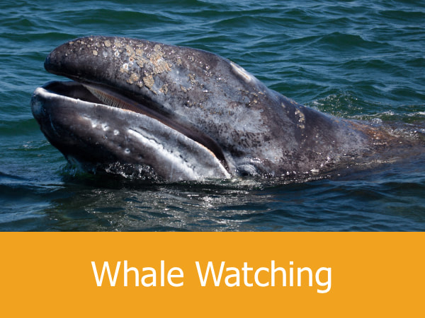
Suggested Activities for Headlands on the Oregon Coast:


|

|


|
|
