

|


|
GPS Coordinates: 44.760809, -124.065195
|
REGIONS > CENTRAL OREGON COAST > DEPOE BAY AND VICINITY
Would you want to visit a place called Cape Foulweather? Do you hear the name and imagine a rain-drenched, wind-swept chunk of rock rising out of a raging sea? It might be hard to imagine how the beautiful place got its unusual name when you’re visiting on a sunny, mild day. Actually, the cape’s name came about as a matter of chance. Over two hundred years ago, a large ship slowly made it way through the stormy seas near the cape. Called the HMS Resolution, it was the flagship of the famous English explorer, Captain James Cook. The ship reached this spot during a particularly bad squall, which forced Captain Cook to make landfall and wait out the storm. When he was finally able to proceed, he left behind the cape with the colorful name. At only 500 feet (152 m), this is one of the smaller capes on the Oregon Coast yet it still provides some excellent views, including of the Devil’s Punchbowl just to the south. The area is popular with bicyclists due to its curves, dips and numerous viewpoints. |
The Magnificent Sights of Cape Foulweather:
The cape is located along the Otter Crest Loop Road on the west side of Highway 101. The Rocky Creek State Scenic Viewpoint and the Otter Crest State Scenic Viewpoint mark the northern and southern boundaries of the area described below.
Whale Cove: GPS Coordinates: 44.788611, -124.071389
Located one mile (1.6 km) to the north of Cape Foulweather, this picturesque half-moon bay is part of the Rocky Creek State Scenic Viewpoint and, as the name suggests, can sometimes host migrating gray whales and other cetaceans. Whale watching is also a popular activity in Depoe Bay about 2 miles (3.2 km) to the north. The cove became the focus of a historical mystery in the late 1970s when an amateur historian claimed it was depicted on a map dated to 1589 and was the probable landing spot for famous explorer and privateer, Sir Francis Drake. For more about this local legend, read Uncharted: Sir Francis Drake’s Oregon Adventure.
Rocky Creek Scenic Viewpoint: GPS Coordinates: 44.7849, -124.0728
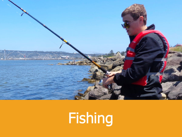
This small wayside west of Oregon Coast Highway 101 offers some spectacular views of the ocean and a great spot for whale watching or fishing from the shore. This is also a popular haul-out area for harbor seals and California sea lions, and a variety of sea birds use the offshore islands for nesting. Restroom and picnicking facilities are also available.
Cape Foulweather Trail: GPS Coordinates: 44.77073, -124.07278
This is an easy hiking trail for visitors to the cape. The trailhead is unmarked but can be found on the east side of the Otter Crest Loop Road at the coordinates provided above. Most of the trail runs along an abandoned spur road and includes some amazing panoramic views of the Pacific Ocean. The total distance of the hike is less than a mile and concludes at the Cape Foulweather Viewpoint (GPS coordinates 44.76845, -124.07197), a scenic coastal meadow which provides views of Gull Rock and the Yaquina Head Lighthouse.
The Lookout: The Cape Foulweather Visitors Center: GPS Coordinates: 44.759097,-124.0683903
Built in 1937 and located at the Otter Crest State Scenic Viewpoint, The Lookout is a quaint building clinging to the edge of the cliff some 500 feet (152 m) above the Pacific Ocean. The gift shop offers souvenirs, food and books. The nearby scenic viewpoint overlooks a large harbor seal haul-out area, Gull Rock and the Devil’s Punchbowl.
Ben Jones Bridge: GPS Coordinates: 44.7588156,-124.0631242
Found along the Otter Crest Loop Road and spanning Rocky Creek, this small bridge was part of the larger effort to improve the roads and highways of the Oregon Coast during the 1920s and 1930s. Completed in 1927, it was originally called the Rocky Creek Bridge but was renamed for the Oregon state representative who is widely considered the mastermind behind the highway improvement scheme. There’s a small parking area to the south of the bridge with excellent view of the coast and creek, along with several interpretive signs.
Whale Cove: GPS Coordinates: 44.788611, -124.071389
Located one mile (1.6 km) to the north of Cape Foulweather, this picturesque half-moon bay is part of the Rocky Creek State Scenic Viewpoint and, as the name suggests, can sometimes host migrating gray whales and other cetaceans. Whale watching is also a popular activity in Depoe Bay about 2 miles (3.2 km) to the north. The cove became the focus of a historical mystery in the late 1970s when an amateur historian claimed it was depicted on a map dated to 1589 and was the probable landing spot for famous explorer and privateer, Sir Francis Drake. For more about this local legend, read Uncharted: Sir Francis Drake’s Oregon Adventure.
Rocky Creek Scenic Viewpoint: GPS Coordinates: 44.7849, -124.0728
This small wayside west of Oregon Coast Highway 101 offers some spectacular views of the ocean and a great spot for whale watching or fishing from the shore. This is also a popular haul-out area for harbor seals and California sea lions, and a variety of sea birds use the offshore islands for nesting. Restroom and picnicking facilities are also available.
Cape Foulweather Trail: GPS Coordinates: 44.77073, -124.07278
This is an easy hiking trail for visitors to the cape. The trailhead is unmarked but can be found on the east side of the Otter Crest Loop Road at the coordinates provided above. Most of the trail runs along an abandoned spur road and includes some amazing panoramic views of the Pacific Ocean. The total distance of the hike is less than a mile and concludes at the Cape Foulweather Viewpoint (GPS coordinates 44.76845, -124.07197), a scenic coastal meadow which provides views of Gull Rock and the Yaquina Head Lighthouse.
The Lookout: The Cape Foulweather Visitors Center: GPS Coordinates: 44.759097,-124.0683903
Built in 1937 and located at the Otter Crest State Scenic Viewpoint, The Lookout is a quaint building clinging to the edge of the cliff some 500 feet (152 m) above the Pacific Ocean. The gift shop offers souvenirs, food and books. The nearby scenic viewpoint overlooks a large harbor seal haul-out area, Gull Rock and the Devil’s Punchbowl.
Ben Jones Bridge: GPS Coordinates: 44.7588156,-124.0631242
Found along the Otter Crest Loop Road and spanning Rocky Creek, this small bridge was part of the larger effort to improve the roads and highways of the Oregon Coast during the 1920s and 1930s. Completed in 1927, it was originally called the Rocky Creek Bridge but was renamed for the Oregon state representative who is widely considered the mastermind behind the highway improvement scheme. There’s a small parking area to the south of the bridge with excellent view of the coast and creek, along with several interpretive signs.
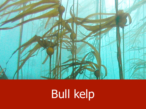
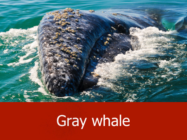
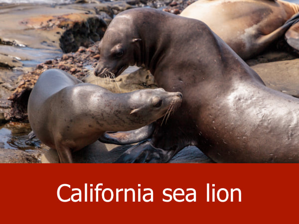
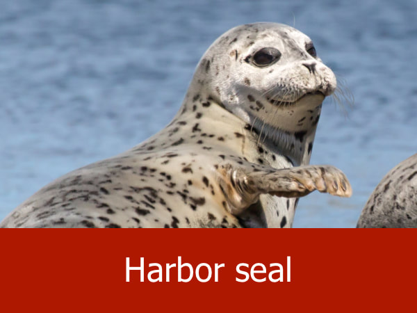
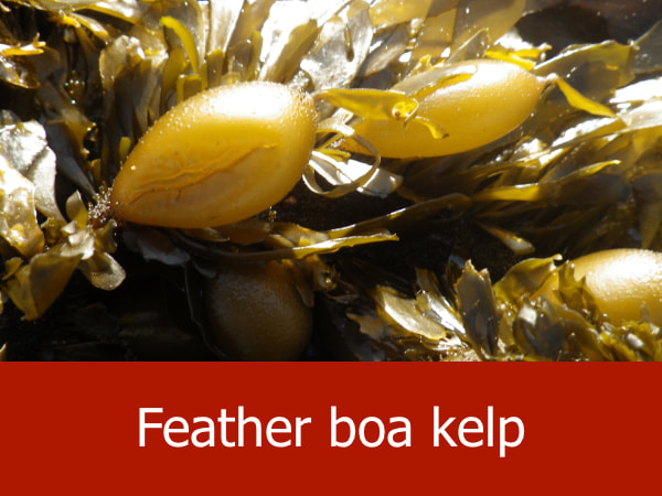
Representative Species of Cape Foulweather:

|


|


|


|
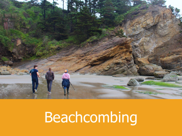
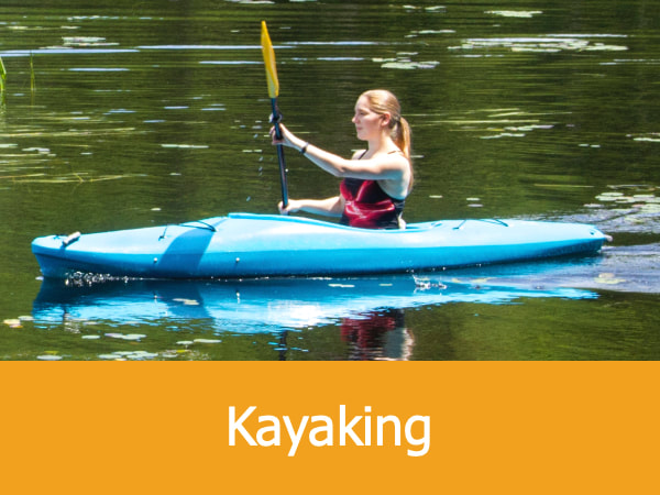
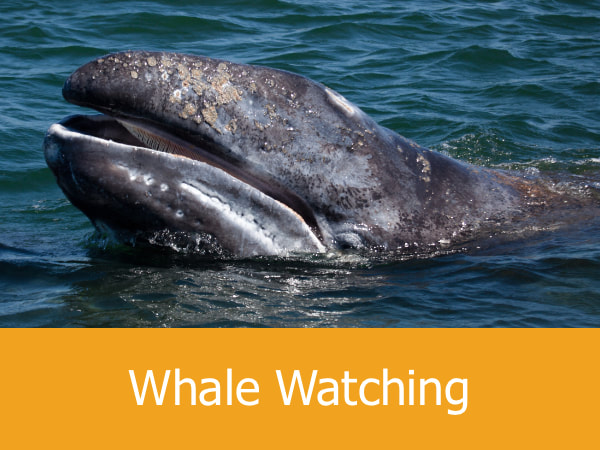
Suggested Activities for Cape Foulweather:


|

|


|

|
