

|


|
GPS Coordinates: 44.7471507, -124.064435
|
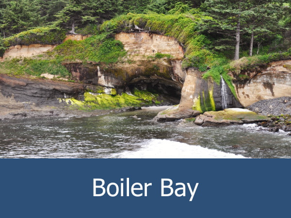
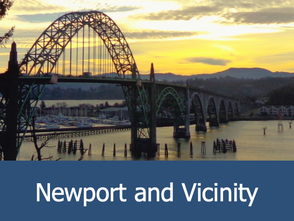
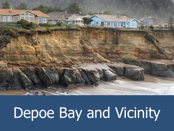
REGIONS > CENTRAL OREGON COAST > NEWPORT AND VICINITY
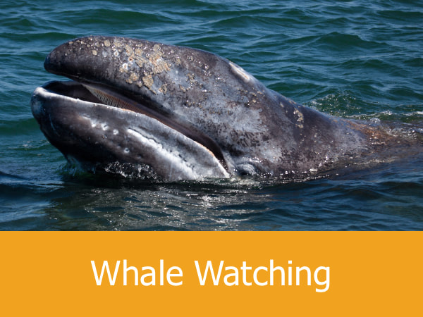
This popular wayside is located to the west of Oregon Coast Highway 101 between the towns of Depoe Bay and Newport. The name derives from the bowl-shaped formation cut into the base of a rocky headland below the main parking lot. Geologists believe that the punchbowl began as two sea caves. The constant lashing of the surf eventually joined the caves together and then the roof of the caves collapsed, forming the bowl shape. Today, visitors can watch in safety from the bluffs above as the waves swirl and crash inside. While the punchbowl is extremely dangerous to people — and visitors should always remain on the marked pathways — the surrounding coastline is very popular with surfers and they can often be spotted riding the waves to both the north and south of the bowl. The location and unique landscape also make the punchbowl a popular area for photographers, whale watchers and geology enthusiasts. Nature trails crisscross the nearby coastal forest and the beaches have some impressive tide pools which can be accessed during low tide. |
Exploring the Devil's Punchbowl Area:
|
|
|
|
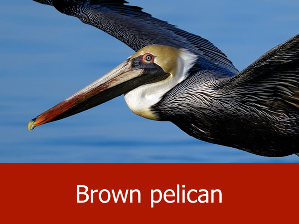
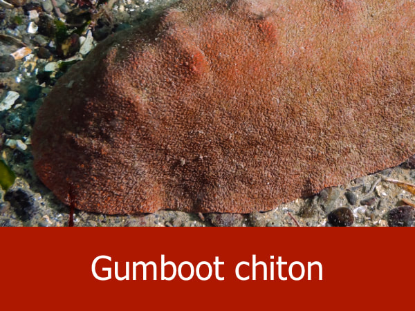
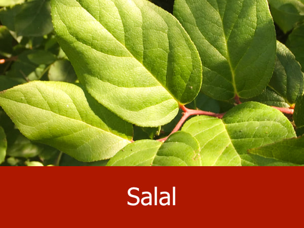
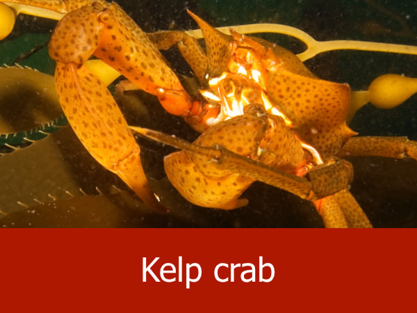
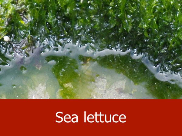
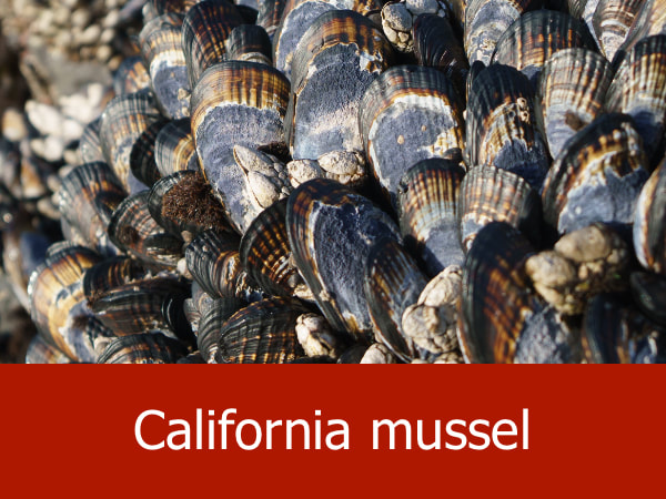
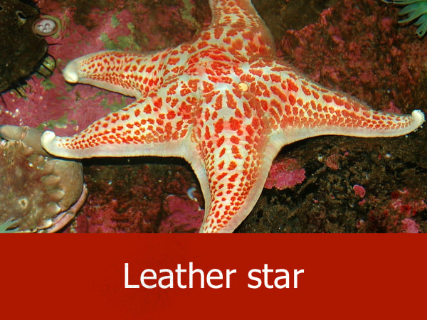
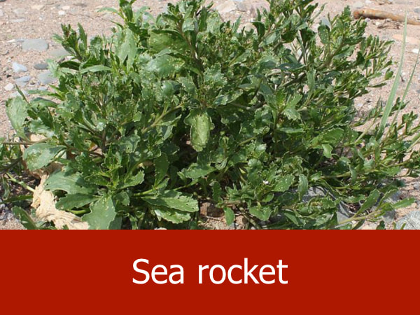
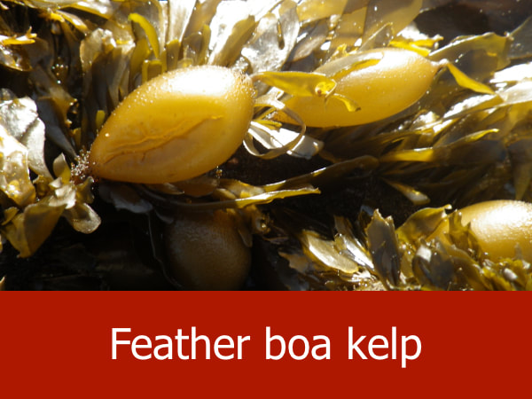
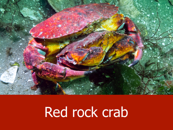
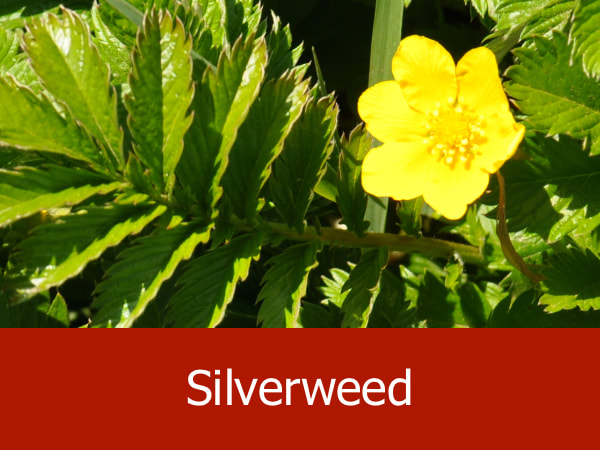
Representative Species of Devil's Punchbowl:
|

|
|
|
Suggested Activities for the Beverly Beach Area:

|

|

|

|
