

|

|
|
ECOSYSTEMS > INLAND OREGON > FORESTS
While it’s probably fair to say there are few “unmanaged” areas in Oregon, the term “managed lands” refers specifically to places administered by state or federal agencies to ensure a wide number of uses while protecting native species and natural resources. Many managed lands are used for economic or energy purposes, including mining, oil and gas production, wind energy, geothermal development, forestry and recreation. Approximately forty percent of coastal forest land is administered by public agencies like the US Forest Service and Bureau of Land Management. The rest is privately owned and may be used for urban development and agriculture. |
Government agencies overseeing managed lands often walk a tight rope, balancing the needs of the citizenry with the maintenance of wild places. As you can imagine, these dual goals can seem contradictory and may result in controversial decisions.
Perhaps one of the best known conflicts in the Pacific Northwest is the plight of the northern spotted owl. This threatened bird lives in old growth forests, areas which are very valuable to the timber industry. Beginning in the 1980s, environmentalists began to warn that the destruction of old growth forests was further imperiling the bird. Multiple court battles followed, finally resulting in a logging ban within national forests where the bird is found. Despite the ban, the owl’s habitat continues to decrease due to a variety of factors including low genetic diversity and competition with other wild species. The owl’s status continues to provoke strong emotions on all sides of the issue.
Related Features: Endangered Oregon: The Northern Spotted Owl and Old Growth Forests
Where Can I See Managed Lands in Oregon?
|
Yaquina Head Outstanding Natural Area
GPS Coordinates: 44.6754597, -124.0814188 |
Samuel H. Boardman State Scenic Corridor
GPS Coordinates: 42.1575318, -124.3636022 |
Siskiyou National Forest
GPS Coordinates: 42.0623311, -123.9562403 |
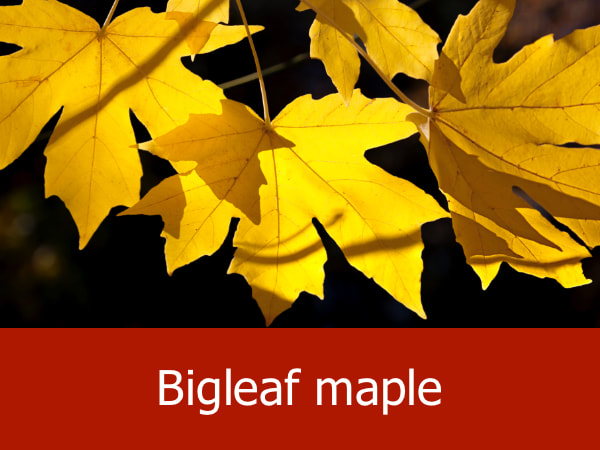
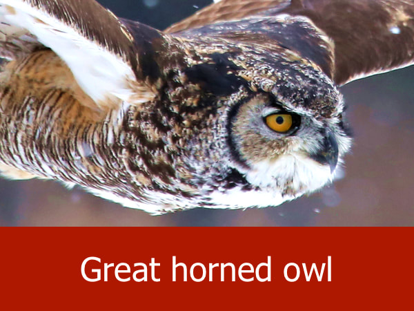
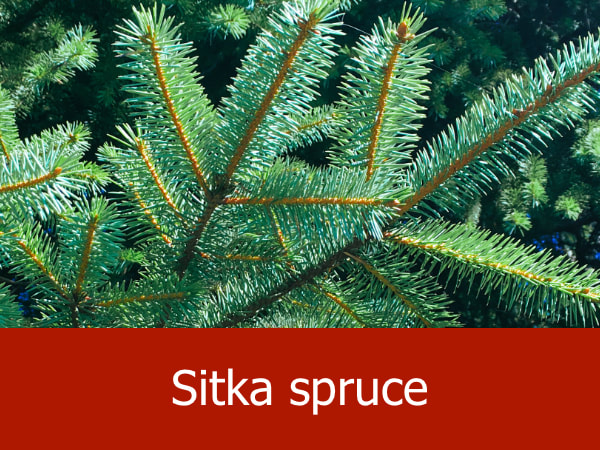
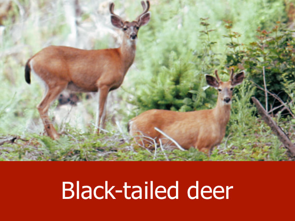
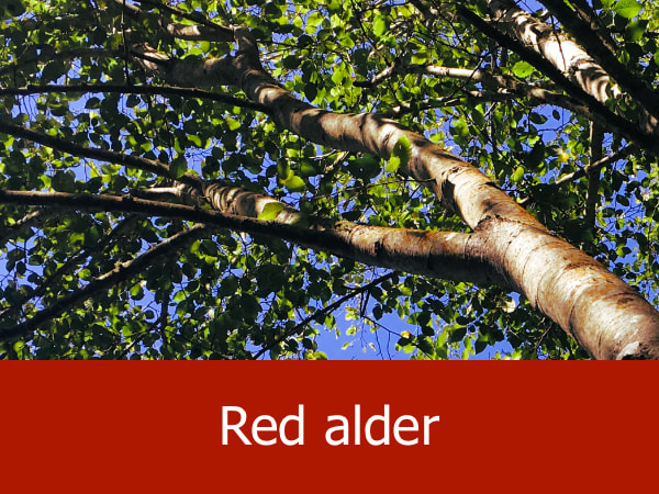
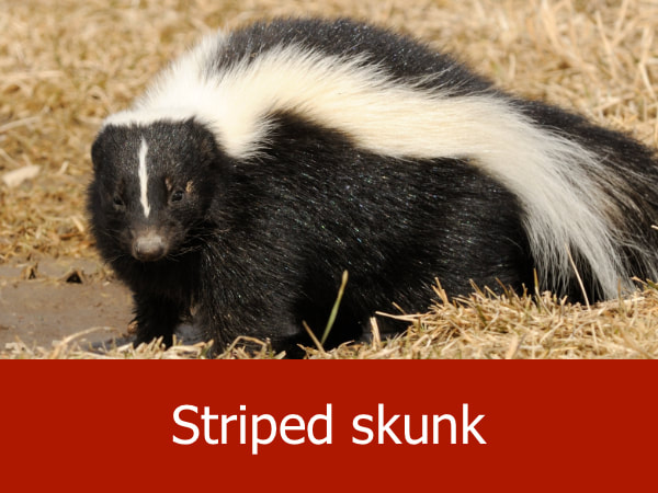
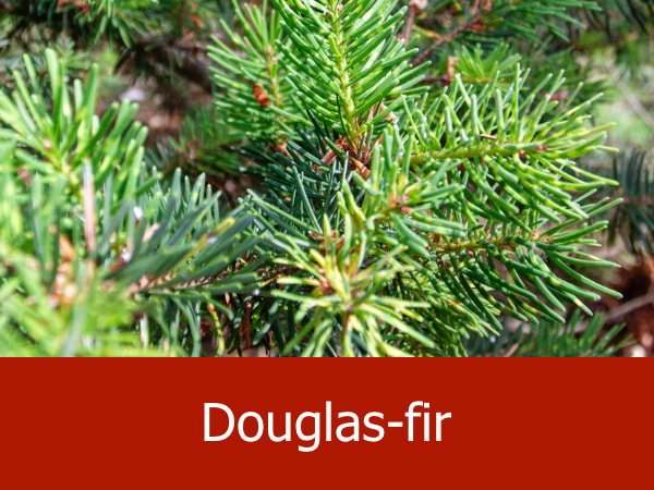
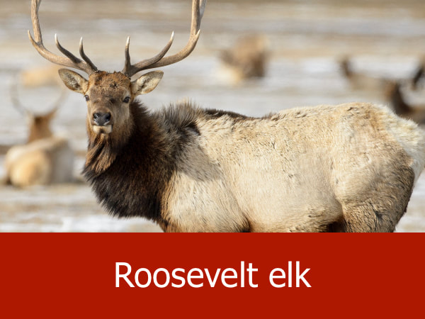
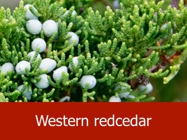
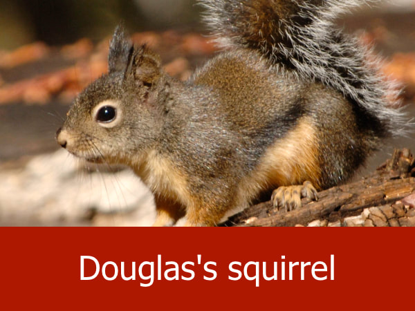
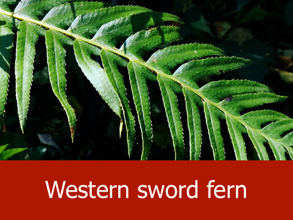
Representative Species for Managed Lands in Oregon:
|
|
|

|
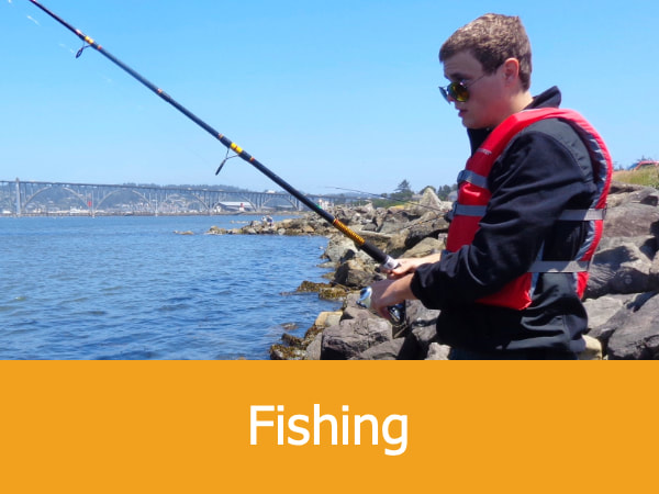
Suggested Activities for These Areas:

|


|


|


|
