

|


|
GPS Coordinates: 42.9357621, -122.2759867
|
REGIONS > CENTRAL OREGON
Welcome to Crater Lake, one of the most popular tourist destinations in the state of Oregon. But don't be fooled by its apparent tranquility. Beneath these still blue waters is a story of fire and cataclysm. The western hemisphere’s deepest lake was once a 12,000-foot (3,700 m) peak called Mount Mazama. The mountain towered over the forested landscape of central Oregon, its cone-shape summit hidden beneath snow, ice and clouds. But all that changed some 7,700 years ago when the top of the mountain exploded in a column of dark smoke and steam. |
Mount Mazama melts down!The snow and ice packs at the summit immediately melted, gathering up ash and sediment as water and gases poured down the slopes in super-heated mud avalanches called pyroclastic flows. Much of this material settled outside the caldera and is today known as the Pumice Desert.
As the eruption continued, the top of Mount Mazama collapsed in on itself, reducing the height of the mountain by more than a mile (1.6 km). Eventually the volcano grew quiet and the empty caldera slowly began to fill with water, creating the spectacular Crater Lake we see today. Related Features: Crater Lake National Park | Oregon, "The Ring of Fire" and the CSZ | When Continents Collide |
|
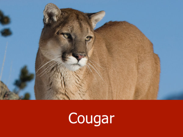
Representative Species of Crater Lake:
|
|


Suggested Activities for the Crater Lake Area:


|


|


|


|
