OCEANSCAPE NETWORK
  • Home
  • Virtual Explorations
    • The Stream
  • Explore
  • Experience
  • Educate
CENTRAL OREGON

Navigate ​from North to South:

​REGIONS | MISCELLAENOUS REGIONS | DOWNLOAD MAP
COLUMBIA RIVER
​
The Historic Columbia River Highway
MOUNT HOOD AND VICINITY
CASCADE MOUNTAINS
BEND AND VICINITY
​
High Desert
​High Desert Museum
Oregon Badlands
CRATER LAKE AND VICINITY
CHRISTMAS VALLEY AND VICINITY
Fort Rock
​Crack in the Ground
SMITH ROCK

Featured Locations in Central Oregon:

Hood River
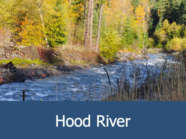
The headwaters of this picturesque river lie high on the slopes of Mount Hood, the state's tallest mountain and dormant volcano. Fed by snow and ice melt, the river winds its way 25 miles (40 km) north where is becomes a major tributary to the Columbia River.
Fort Rock
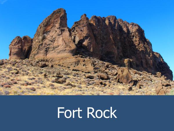
The remains of an ancient volcano, Fort Rock provided shelter for native peoples and numerous outdoor adventures for modern explorers.
Oregon Badlands
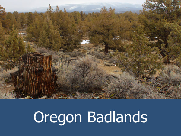
The Oregon Badlands Wilderness Area is a small region of the High Desert located just outside Bend. There are over 50 miles (80.5 km) of hiking and horseback riding trails through an almost alien landscape of rugged basalt outcrops and soft volcanic ash.
Picture
Picture
About Oceanscape
The Oregon Coast Aquarium's Oceanscape Network is an educational program for youth designed to inspire curiosity in science, nature, conservation and outdoor exploration while providing valuable classroom resources for educators. MORE.
Quick Links
​Twitter | Facebook | Instagram | Goodreads
Site Updates | For Educators | For Youth | Translate This Website | Contact Form | Privacy Policy | Conditions of Use | Website Accessibility
Finding the Aquarium
2820 SE Ferry Slip Road, Newport, Oregon 97365
(541) 867-3474 | oceanscape@aquarium.org
Oceanscape Network © 2023 by the Oregon Coast Aquarium. All rights reserved. 
  • Home
  • Virtual Explorations
    • The Stream
  • Explore
  • Experience
  • Educate