

|


|
GPS Coordinates: 43.3746289, -121.0747299
|
REGIONS > CENTRAL OREGON > CHRISTMAS VALLEY AND VICINITY
From a distance, Fort Rock resembles a medieval castle rising out of the flat desert floor of central Oregon. A massive semi-circular wall of dark stone appears to be capped with turrets. Formations similar to spires and towers rise hundreds of feet into the cloudless sky. Caves and depressions even trick the eye into believing they might be gates or windows. Yet despite its name and appearance, Fort Rock is very much a natural construction. This unique geological formation is called a tuff ring. The craggy walls formed when a volcanic vent pushed its way through the bottom of an ancient lake approximately 100,000 years ago. As hot magma came in contact with mud and water, it formed explosive geysers which threw chunks of basalt, glass and ash particles into the air. As this debris settled around the vent, it formed the circular wall we see today. |
The size of the tuff ring cannot be fully appreciated unless you climb up to its interior. The 4,460 foot (1,360 m) diameter would easily hold twelve football fields set end to end. The towering 200 foot (60 m) walls are the same height as a 20 story skyscraper. In the distant past, the southeastern quadrant of the wall was eroded by wave action on the ancient lake, creating a horseshoe shaped profile.

|
The remains of an ancient volcano, Fort Rock provided shelter for native peoples and numerous outdoor adventures for modern explorers.
|
During the last Ice Age, or between 9,000 and 13,000 years ago, the basin where Fort Rock sits was very different ecologically. The climate was cooler and wetter. A large freshwater lake dominated the landscape and Fort Rock was an island rising from its center. Around the lake’s edges, flamingos would have flocked by the thousands and sprawling piñon pine forests were home to bison, horses and a now extinct relative of the modern camel.
The Rock’s numerous caves made it a natural refuge for people as well. Archaeologists believe it was a popular fishing spot for Native Americans who would have accessed it by canoe. Even after the climate changed, the lake dried up, and the pine forests were replaced with scrublands, native peoples continued to use the Rock for a variety of purposes. Scientists estimate that the formation has been almost continuously used by people for the last 10,000 years.
Now a state park, Fort Rock is a popular destination for tourists, hikers, photographers and rock collectors. The park is located approximately 41 miles (66 km) southeast of La Pine, Oregon. It is open year round. For additional information, visit the Oregon Parks and Recreation Department website.
Related Feature: Hiking The Crack in the Ground
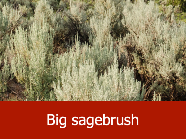
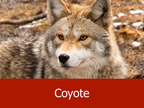
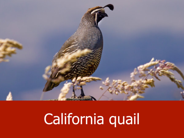
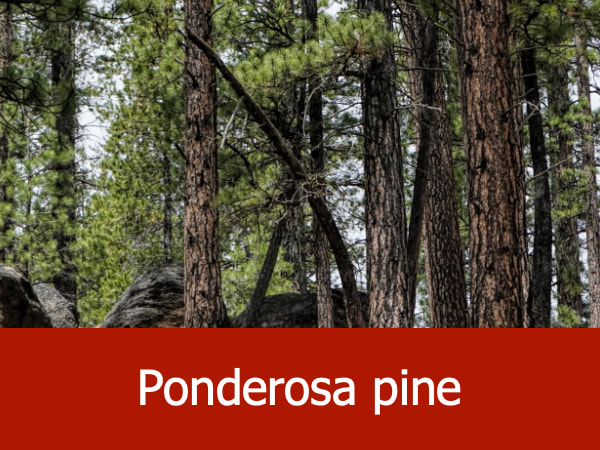
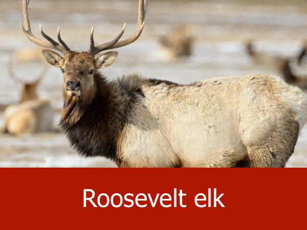
Representative Species for the Fort Rock Area:


|


|


|


|
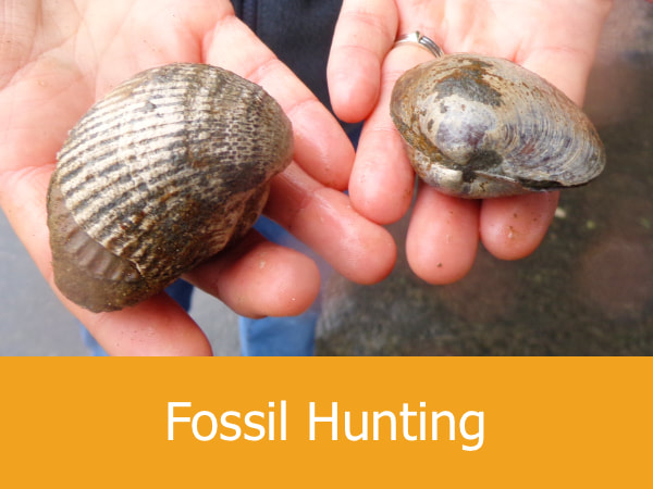
Suggested Activities for the Fort Rock Area:

|

|

|

|
