

|


|
GPS Coordinates: 45.66041, -121.6388228
|
REGIONS > CENTRAL OREGON > MOUNT HOOD WILDERNESS
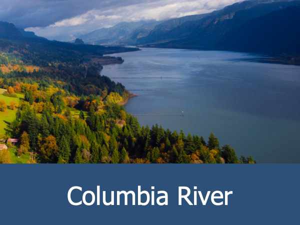
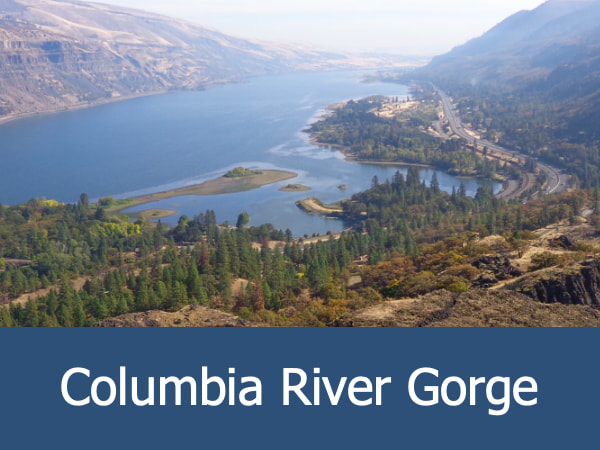
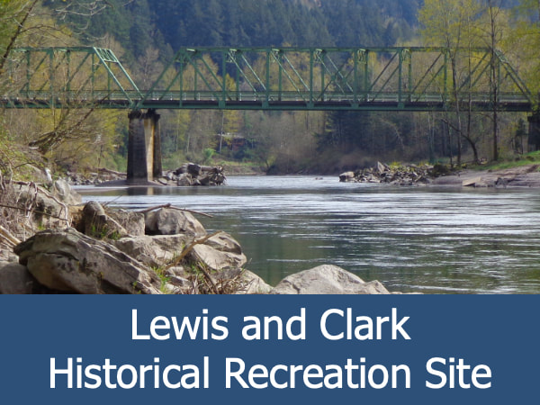
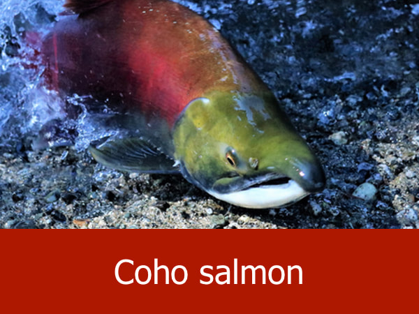
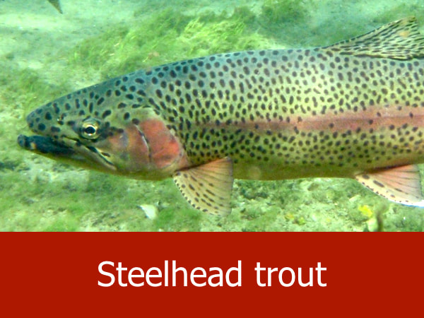
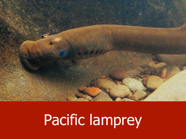
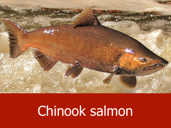
The headwaters of this picturesque river lie high on the slopes of Mount Hood, the state's tallest mountain and dormant volcano. Fed by snow and ice melt, the river winds its way 25 miles (40 km) north where is becomes a major tributary to the Columbia River. The confluence of the two rivers is located to the northeast of Mount Hood. A small town called Hood River is also located here. Historically, the river has provide vital habitat and migration routes for Chinook salmon, coho salmon, steelhead trout and Pacific lamprey. During the modern era, is it also an important water source for human communities and agriculture as the Hood River area is known for its fertile orchards, vineyards and farmlands. Recreational opportunities include fishing, kayaking and windsurfing. Related Feature: Eating My Way Through the Fruit Loop | Historic Columbia River Highway |
Explore the Mount Hood Wilderness Area:


|

|
|
|
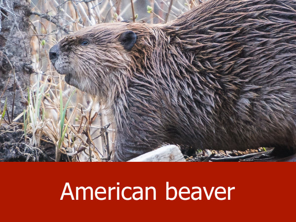
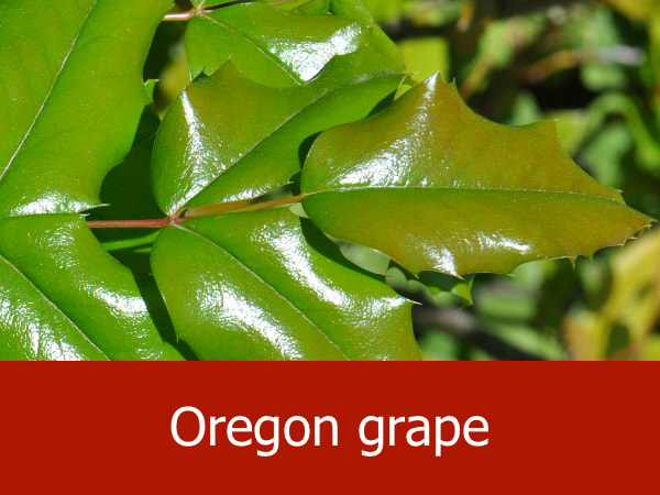
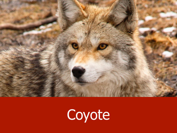
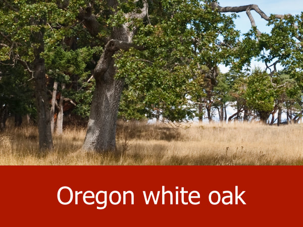
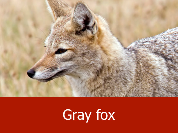
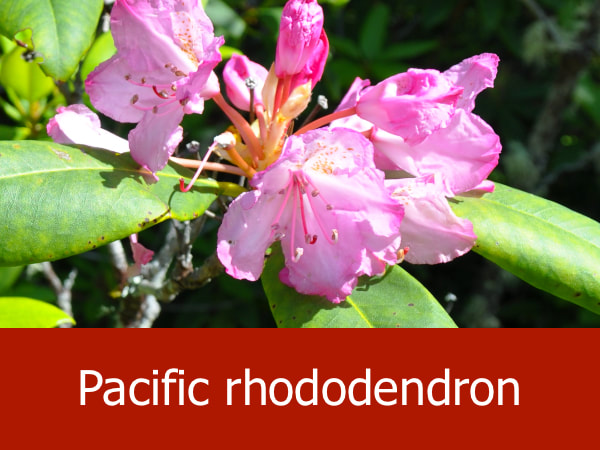
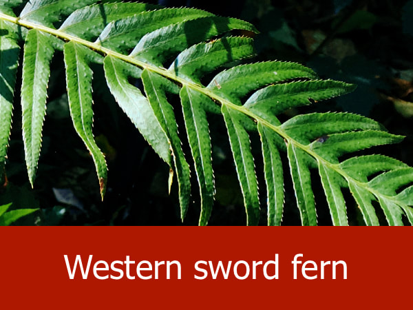
Representative Species of Hood River:

|


|


|

|
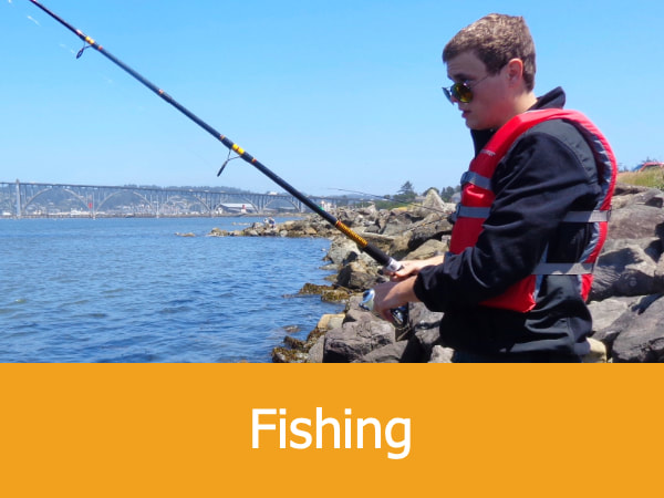
Suggested Activities for the Hood River:


|


|


|


|
