

|

|
Approximate GPS Coordinates to the Pixieland Site: 45.024956, -123.964705
|
REGIONS > OREGON COAST > CENTRAL OREGON COAST
> LINCOLN CITY AND VICINITY > CASCADE HEAD > SALMON RIVER Aside from the cattle and the dikes, the most obvious imprint humans made on the Salmon River was the creation of Pixieland, a multi-acre amusement park that originally stood where the river meets Oregon Coast Highway 101. Construction of Pixieland began in 1967 and included a frontier and Native American village, canoe docks, river boat, lighthouse, train and log flume ride. The park cost $2 million to build and covered a vast 57 acres of land right in the middle of the Salmon River estuary. Although intended as a major tourist attraction, the park only lasted four years. It was larger a victim of the Oregon climate which is more conducive to supporting forests and wetlands than outdoor amusement parks; and changing attitudes about protecting local environments. Deconstruction of Pixieland continued over years, with the last of the rides and major fixtures being sold off in the mid-1970s. |
By the 1980s, there was a federal mandate to restore the wetlands which Pixieland had partially disrupted. Efforts began to remove what was left of the park, including concrete supports, asphalt parking lots and building foundations. Today, the Salmon River wetlands have reclaimed the area and most traces of Pixieland are long gone.
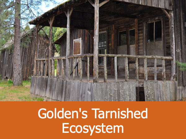
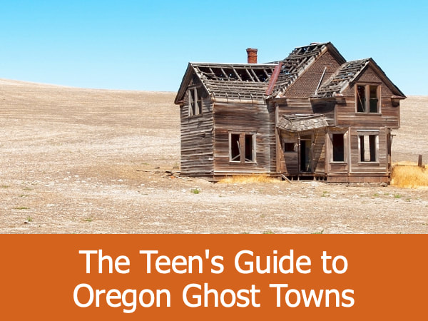
More Abandoned Places:
|
|
|
|
