

|


|
GPS Coordinates: 43.337165, -123.472595
|
REGIONS > WESTERN OREGON
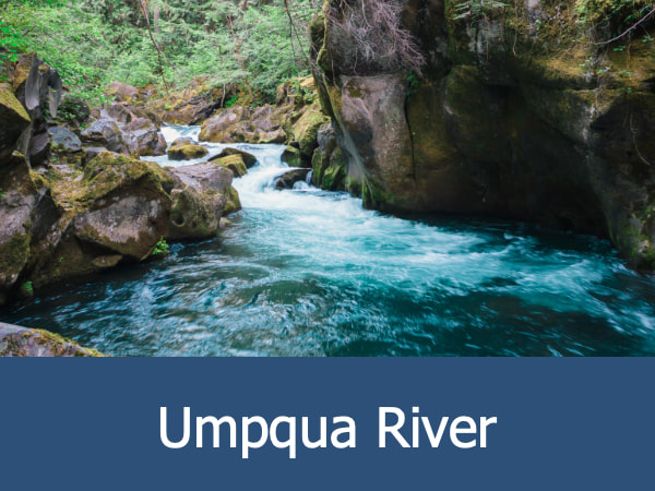
The Umpqua River Valley runs the width of Douglas County, Oregon, between the Cascade Mountains and the Coast Range Mountains. The valley is bisected by the 111 mile (178.6 km) long Umpqua River which has its headwaters in the Cascades and empties into the Pacific Ocean at Winchester Bay. The Willamette Valley is located to the north and the Rogue River Valley to the south. Like the Willamette, this the Umpqua River Valley has a moderate climate produced by a rain shadow effect. Native people lived in the valley for thousands of years prior to the arrival of Europeans and Euro-Americans. This included the Siuslawan people, the Kalapuyan people, the Molala people and the Cow Creek Band of Umpqua. |
During the 19th century, the valley became popular with Euro-American fur trappers who hunted along the river and stream banks for American beaver. The fur trade ultimately resulted in the establishment of Fort Umpqua in 1854, the first Euro-American settlement in Oregon south of the Willamette Valley. More non-native people entered the valley in the decades that followed, lured by the abundant timber and the promise of gold. More recently, winemaking has become an important part of the economy and the valley is home to numerous vineyards.
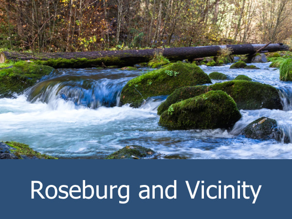
Major towns within the valley include Roseburg, Sutherlin and Myrtle Creek.
Major towns within the valley include Roseburg, Sutherlin and Myrtle Creek.
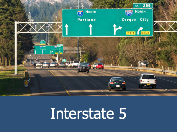
Exploring the Umpqua River Valley:
|

|
|
|
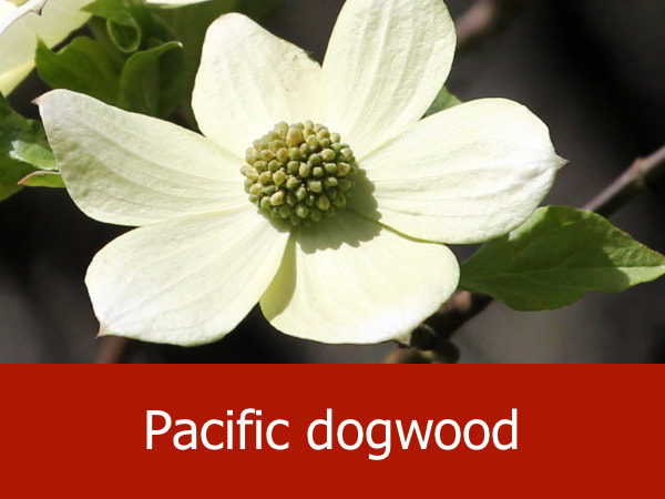
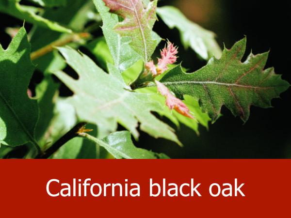
Representative Species of the Umpqua River Valley:


|


|


|


|
Suggested Activities for the Umpqua River Valley:


|


|


|


|
