

|

|
GPS Coordinates: 44.6123381, -124.0354039
|
REGIONS > CENTRAL OREGON COAST > NEWPORT AND VICINITY
Originating in the Coast Range Mountains just west of Corvallis, the Yaquina River is one of the major streams of the Central Oregon Coast watershed. From the mountains, it runs west to empty into the Pacific Ocean at Newport. The mouth of the river includes the wide Yaquina Bay and a thriving estuary. Numerous sloughs and creeks act as tributaries to the river. Its entire length is approximately 60 miles (96.5 km). Though always important for recreational purposes, the river played a much larger role in the local economy in the late nineteenth and through the twentieth century. During that era, the waterway was important for transporting raw materials for the lumber industry and gave rise to a network of towns, piers, railroads and docks. Remnants of this past can still be seen along its banks near Newport (see Colonel Hogg's Great Railroad to the Pacific and Other Engineering Disasters for more). Related Features: Life in Ruins: Yaquina City and Paradise Lost | Discovering Marine Discovery Tours |
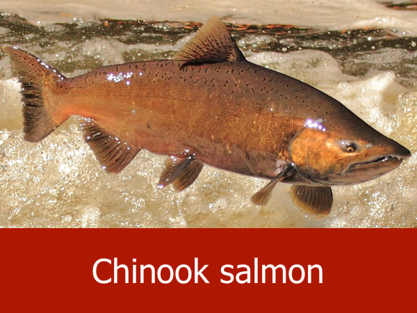
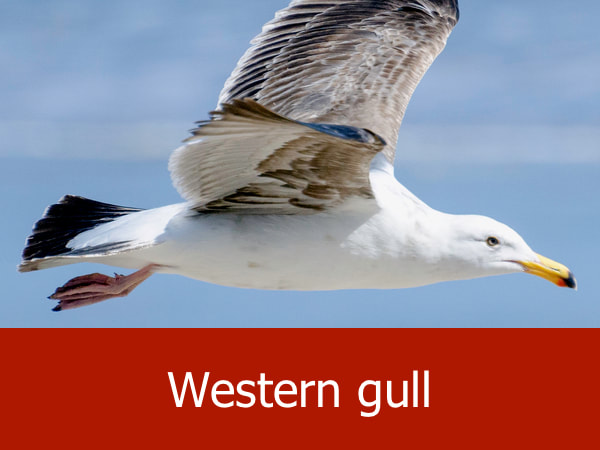
Representative Species of the Yaquina River:
|
|


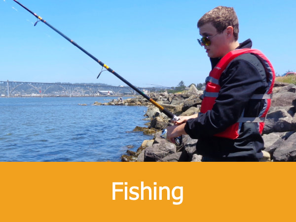
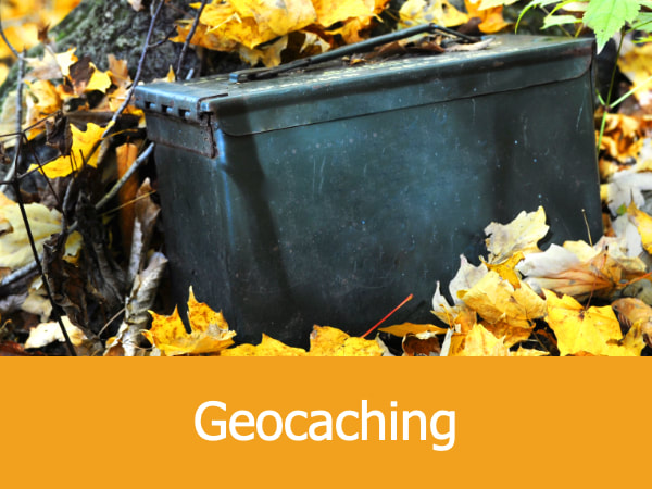
Suggested Activities for the Yaquina River:


|


|


|


|
