

|


|
GPS Coordinates: 42.5354445, -118.4735229
|
REGIONS > CENTRAL OREGON > OREGON HIGH DESERT
The Alvord Desert is a 12-by-7-mile (19 by 11 km) dry lakebed, which is also known as a playa. It is located in the southeastern corner of the High Desert, adjacent to the Steens Mountains and approximately 40 miles (64.3 km) north of the Nevada state border. Due to the proximity of the mountain range, the desert receives only between 5-7 inches (12.7-17.78 cm) of rain annually because it is sheltered from rain-bearing winds. This phenomenon is known as a rain shadow effect. The Alvord Desert is also the hottest place in Oregon, with summer temperatures often in excess of 100° F (38° C). Because the Alvord Desert is an ancient lakebed, it is a uniformly flat landscape surrounded by 5,000 foot (1,524 m) mountain cliffs. The surface is sun-baked and cracked, but during the rainy season can transform quickly into a muddy quagmire, and then bloom just as fast with grasses and small herbs. Hot springs are hidden in the nearby mountains, a result of the geothermal activity that underlies the entire region. In total, nearly 200 hot springs have been mapped in this area, but many are on private land. You should never trespass to find them. The area is rich with borate minerals, the chief components in borax, which was once widely used in detergents and cosmetics. During the late nineteenth and early twentieth centuries, the desert was heavily mined for these minerals. These operations have since ceased. |
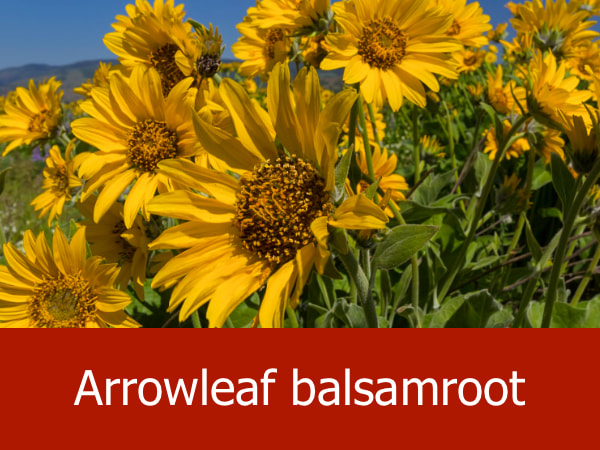
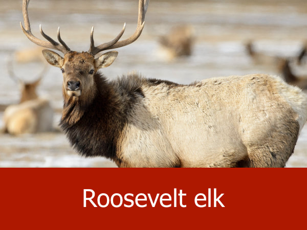
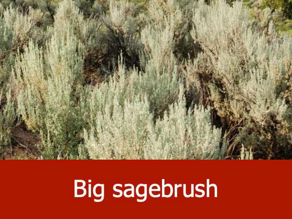
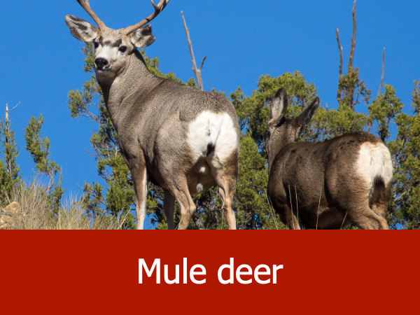
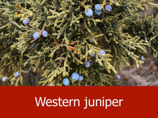
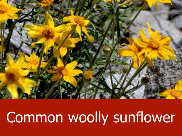
Representative Species of the Alvord Desert:

|
|


|


|
Suggested Activities for the Alvord Desert:


|


|


|


|
