
|

REGIONS > OREGON COAST > CENTRAL OREGON COAST > LINCOLN CITY AND VICINITY > CASCADE HEAD > SALMON RIVER
The year is 1700. The Oregon Coast is a lush wilderness, virtually unaltered by human hands. Although large wooden sailing ships occasionally cruise by, the interior of the state — and most of the North American continent in general — is largely unexplored by Europeans. But that doesn’t mean there aren’t people and civilization here. A thriving population of Native Americans exists all along the coast, building villages among the trees, fishing for salmon in the numerous rivers, and hunting whales offshore.
But on the afternoon of January 26, the lives of these tribal people changes dramatically. The very ground under their feet begins to lurch, throwing them to the ground. The vibrations are so strong that most of these native people cannot stand for several minutes. Then, just as quickly as it began, the rumbling stops. The forest takes on an eerie silence, as though the world itself is holding its breath, waiting to see what happens next.
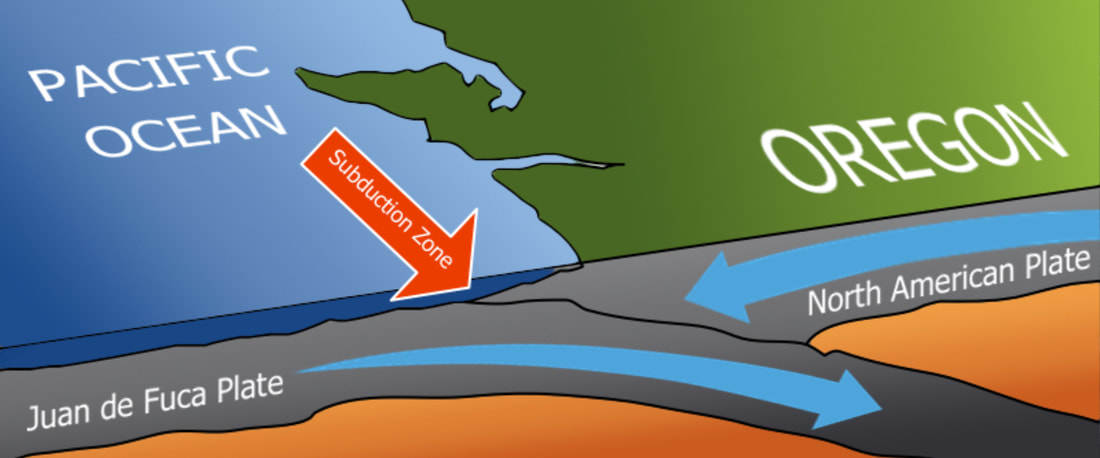
This diagram shows how the Juan de Fuca Plate is being forced under (or subjected) by the larger, heavier North American Plate.
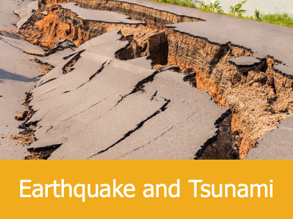
Offshore and unseen to the indigenous people, a large fault has burst on the ocean floor. This cataclysmic event was the result of massive geological pressures building up on the Earth’s surface. For tens of thousands of years, the North American continental plate had been grinding down on the Juan de Fuca continental plate offshore. Pressures built and built until — on January 26, 1700 — something snapped. The release of all that energy caused a tremendous earthquake, estimated to be between a magnitude 8.7 and 9.2 on the Richter Scale. In some places along the Oregon Coast, the land sunk by 20 feet (6.09 m) almost instantaneously.
Today, this event is officially known as the 1700 Cascadia Earthquake.
Today, this event is officially known as the 1700 Cascadia Earthquake.
The Earthquake Was Just the Beginning...
But for the people of the Pacific Northwest, the earthquake was just the beginning.
Within minutes, Native Americans wandering along the coast noticed something very strange. The ocean waters were rapidly receding. This wasn’t the usually ebb and flow of the tides. This was something altogether different — the formation of a tsunami.
Probably within half an hour of the initial quake, the waters of the Pacific Ocean would’ve inundated huge sections of the coast, from California north to British Columbia. The Native Americans who lived along the banks of the Salmon River may have watched in horror as a huge wall of water came crashing through the trees and dunes, sweeping away everything in its path. Most of the Salmon River valley would’ve been submerged, and with it every plant, animal and human unlucky enough to be in the tsunami’s path.
Marked in the Mud:
|
|
It’s been over three hundred years since that tragic day on the Oregon Coast, but traces of the great tsunami linger. Take a look at the photo slideshow to the right. To a trained eye, this muddy riverbank tells the story of January 26, 1700. (See the slideshow to the left.)
Although these relics are fascinating to stumble upon, remember that Native American archaeological sites in and around the Salmon River estuary are protected areas. If you find something you believe might be an artifact from either the 1700 tsunami or any historical period, you may photograph it but otherwise leave it in place. To help protect these sites, do not publicize the location of your find. Remember, breaking these rules can mean jail time. Learn more about archaeological laws by visiting the National Park Service website. |
Features Related to This Story:
Mystery of the Beeswax Wreck: Three-hundred years ago, a Spanish galleon (who's identity is still in dispute) crashed onto the beach near Nehalem Bay. For generations, people of the area found its cargo — mostly chunks of beeswax — washing up in the surf yet still little is known about the wreck.
Oregon, The Ring of Fire and the CSZ: The Pacific Northwest has always been a volcanic area, prone to earthquakes and tsunami. Here's how our location on the Cascadia subduction zone may mean natural disasters ahead.
When Continents Collide: The Earth's continental plates are constantly moving, and where they rub together catastrophic things can happen.
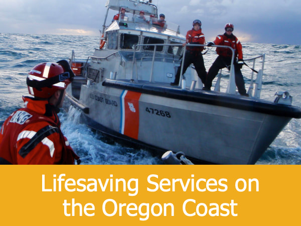
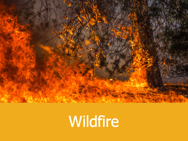
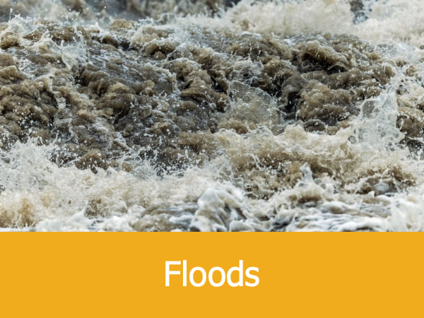
More About Natural Disasters and Other Emergencies:

|
|
|

|
